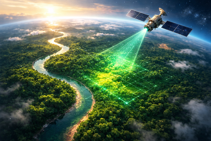
มองโลกจากอวกาศ: ดาวเทียมช่วยวัดการกักเก็บคาร์บอนได้อย่างไร?
ดัชนีพืชพรรณ (Vegetation Index) คืออะไร?
คือค่าที่คำนวณจาก ภาพถ่ายดาวเทียม (Satellite Image) เพื่อวัดความเขียว ความหนาแน่น และสุขภาพของพืช
ตัวอย่างที่ใช้บ่อยที่สุด
NDVI (Normalized Difference Vegetation Index)
สูตร
NDVI = (NIR - Red) / (NIR + Red)
* NIR = Near Infrared (พื